Know Your Evacuation Zones
Preparing to Evacuate
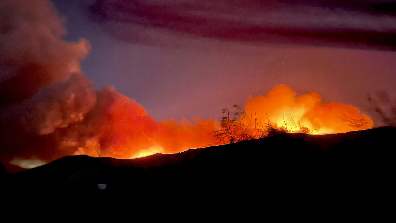
Living in California means you are exposed to many different disasters including wildfires and earthquakes. Emergency services officials may direct residents to evacuate and/or shelter-in-place during a disaster. Knowing your evacuation zone is critical to take potentially life-saving measures during a disaster.
Know Your Evacuation Zones
The City of Mission Viejo is divided up into 25 evacuation zones. To find your evacuation zone, utilize the City’s Geographical Information System (GIS), which provides detailed information about properties. To find your evacuation zone on the GIS map:
- Open the GIS map by clicking https://missionviejo.geoviewer.io/?q=evacuation
- Enter a street address or an Assessor’s Parcel Number (APN) in the search window to locate a particular property.
Follow the news media for emergency information and Mission Viejo’s social media platforms for emergency messages.
For additional fire preparedness information, visit Ready, Set, Go - Are you ready for Wildfires